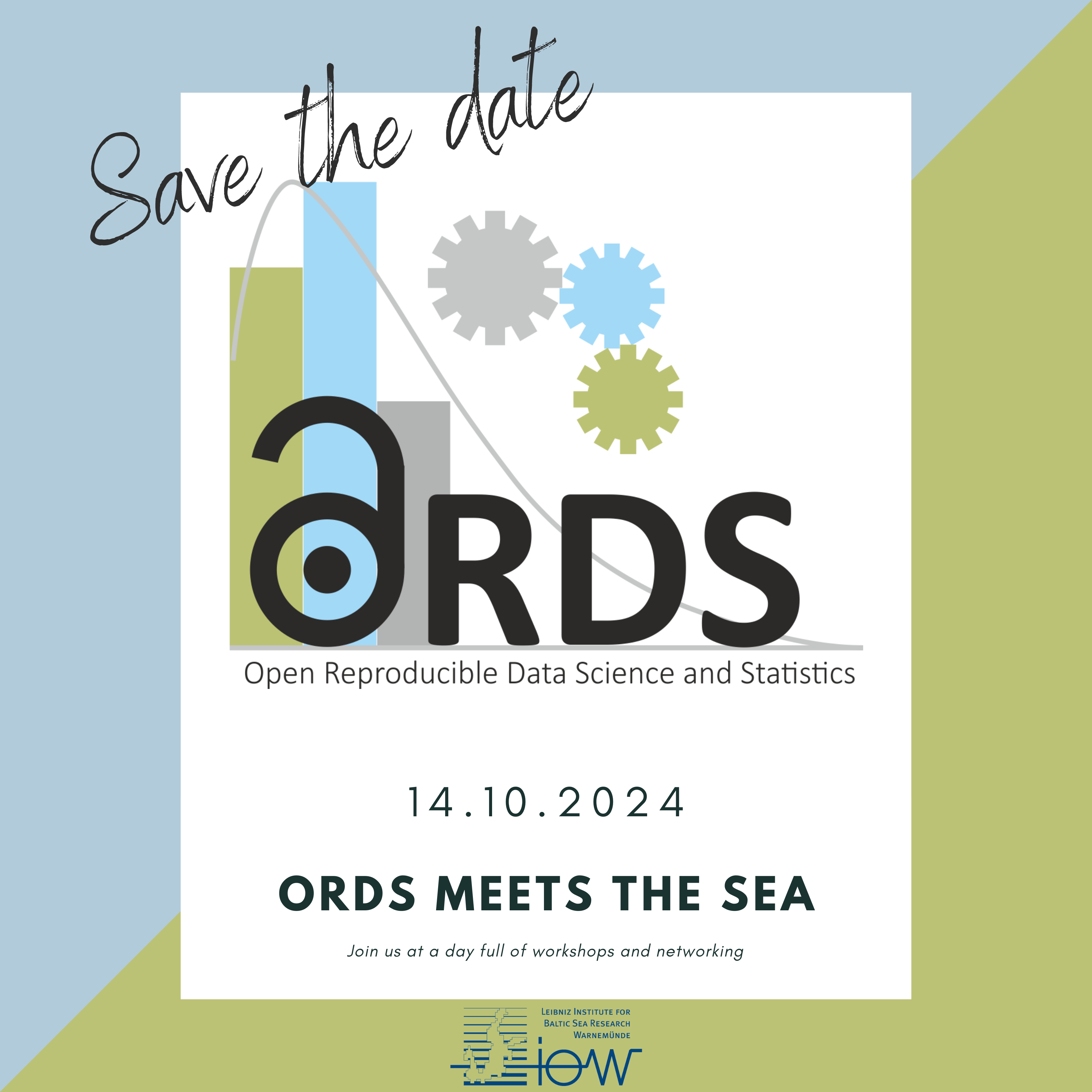
ORDS meets the sea
Dear Open and Reproducible Data Science and Statistics enthusiasts,
we have great news: ORDS-MV organizes together with the Leibniz Institute for Baltic Sea Research Warnemünde (IOW) a full-day event on marine and geospatial research data.
Registration and Details
Register soon in order to get one of the limited seats and spread the word about open and reproducible data science and statistics:
Date: October 14th, 2024 from 09:30am to 04:00pm (open end)
Location: Leibniz Institute for Baltic Sea Research Warnemünde (IOW)
Equipment: Please bring your own notebook for the workshops
Registration via e-Mail: stat-consult [at] fbn-dummerstorf.de
Programm
| Time | Description |
|---|---|
| 9:30 | Welcome & more Dr. Christiane Hassenrück, Leibniz Institute for Baltic Sea Research Warnemünde (IOW) |
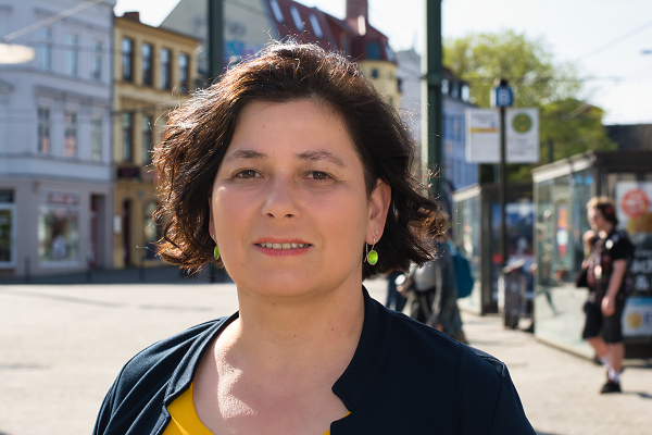
| 9:45 | Workshop: Georeferenced oceanographic data resources at IOW Dr. Susanne Feistel, Leibniz Institute for Baltic Sea Research Warnemünde (IOW) |
| 10:45 | Coffee Break |
| 11:00 | Workshop: Making Maps with Open Data and Open Source Software: R and QGIS (part 1) Dr. Anja Eggert, Research Institute for Farm Animal Biology (FBN) |
| 12:00 | Keynote: National data for international science - the example of fisheries research Dr. Christian von Dorrien, Institute of Baltic Sea Fisheries (Thünen Institute) |
| 13:00 | Lunch Break |
| 14:00 | Workshop: Making Maps with Open Data and Open Source Software: R and QGIS (part 2) Dr. Anja Eggert, Research Institute for Farm Animal Biology (FBN) |
| 15:00 | Coffee Break |
| 15:15 | Demo: Foundation Models: Repositories, APIs and Fine-Tuning JProf. Stefan Lüdtke, University of Rostock, Institute for Visual and Analytic Computing, Marine Data Science |
| 15:45 | Farewell |
| 16:00 | Socializing with Pizza |
Looking forward to an awesome day with you.
Download Flyer (PDF) Update: Download Flyer (PDF)
Workshop: Georeferenced oceanographic data resources at IOW
Dr. Susanne Feistel, Leibniz Institute for Baltic Sea Research Warnemünde (IOW)
TBA
Workshop: Making Maps with Open Data and Open Source Software – R and QGIS
Dr. Anja Eggert, Research Institute for Farm Animal Biology (FBN)
We will explore the quickest ways to access and visualize geospatial marine data from open repositories using R. With a focus on showing how geospatial data can be integrated in a familiar tidyverse data-analysis workflow, we will demonstrate how R can be used for making maps. However, while R is powerful for data processing, QGIS could offer more intuitive mapping capabilities. The choice of tools is yours! We will use real-world examples from Baltic Sea environmental and fisheries data, and you will have the option to participate in hands-on exercises. This workshop is designed for R users at a basic level or those curious about what R can do, particularly in incorporating spatial data into their everyday workflows. Advanced GIS topics will not be covered.
Keynote: National data for international science - the example of fisheries research
Dr. Christian von Dorrien, Institute of Baltic Sea Fisheries (Thünen-Institut)
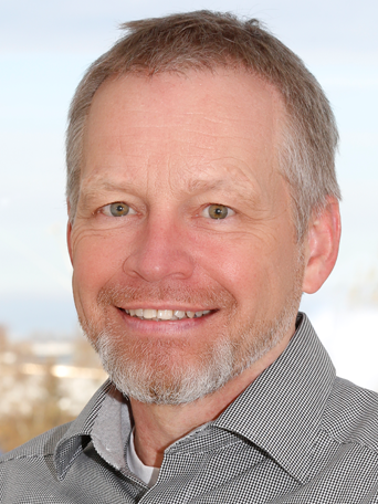
For over 100 years, the countries bordering the North Atlantic have recognized that the sustainable use of fish stocks can only work in an international cooperation. The Thünen Institute of Baltic Sea Fisheries contributes significantly to this by collecting “fishery-independent” data on economically important fish stocks such as herring, sprat and cod on German standard research cruises. This data is quality-checked and then uploaded to databases at the International Council for the Exploration of the Sea (ICES) so that it is available to the international research community. In addition, the Thünen Institute of Baltic Sea Fisheries has many data sets that are collected as part of other scientific studies, but which are currently not easily found and available. The Thünen Institute is therefore currently developing its own research data management system to make this data available to the research community.
Demo: Foundation Models – Repositories, APIs and Fine-Tuning
JProf. Stefan Lüdtke, University of Rostock, Institut Visual and Analytic Computing, Marine Data Science

The availability of large pre-trained models (e.g., large language models, but also large pre-trained models for images or environmental data) leads to a paradigm change in machine learning: Instead of training new models from scratch for each task, researches can now re-use and fine-tune large pre-trained models, often reducing the need for training data and providing impressive results. In this tutorial, I will show how the HuggingFace model repository and the transformers library for Python can be easily used to run and fine-tune foundation models. I will also briefly discuss ramifications for geospatial modeling and emerging climate foundation models.